File:Baltic basemap.png
From Nuclear Heritage
Jump to navigationJump to search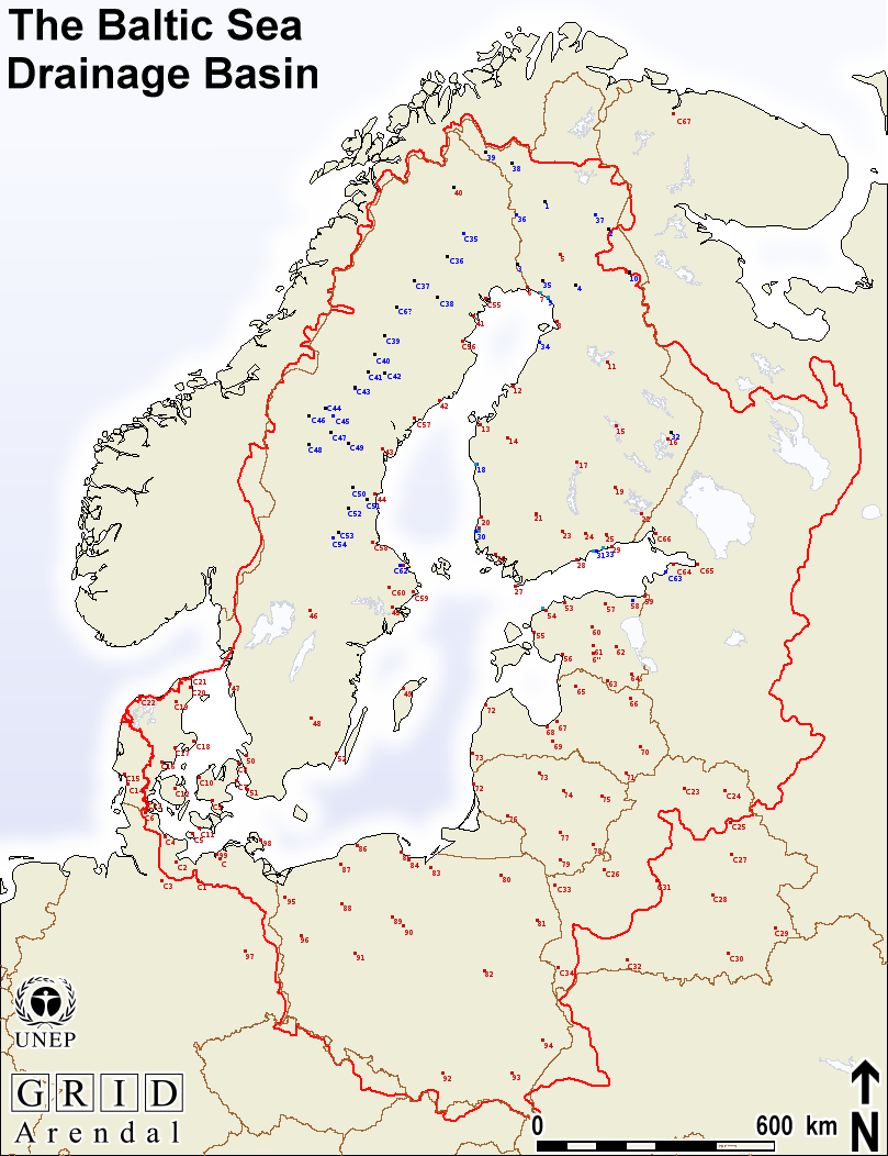
Size of this preview: 461 × 599 pixels. Other resolutions: 184 × 240 pixels | 809 × 1,052 pixels.
Original file (809 × 1,052 pixels, file size: 129 KB, MIME type: image/png)
Nuclear industry, and major towns, in the Baltic Sea region
File history
Click on a date/time to view the file as it appeared at that time.
| Date/Time | Thumbnail | Dimensions | User | Comment | |
|---|---|---|---|---|---|
| current | 16:38, 8 June 2009 | | 809 × 1,052 (129 KB) | Imota (talk | contribs) | |
| 16:36, 8 June 2009 |  | 809 × 1,052 (129 KB) | Imota (talk | contribs) | Nuclear industry, and major towns, in the Baltic Sea region Source: http://www.grida.no/baltic/htmls/maps.htm | |
| 14:15, 19 April 2009 |  | 809 × 1,052 (128 KB) | Imota (talk | contribs) | Nuclear industry, and major towns, in the Baltic Sea region |
You cannot overwrite this file.
File usage
The following 11 pages use this file:
- Action:Infotour Around The Baltic Sea
- Action:Infotour Around The Baltic Sea/Meeting 26-27 April 2010
- Action:Infotour Around The Baltic Sea/Meeting April 2009
- Action:Infotour Around The Baltic Sea/Meeting April 2009/Minutes
- Action:Infotour Around The Baltic Sea/Meeting Autumn 2009
- Action:Infotour Around The Baltic Sea/Meeting Lapland-Camp 2009
- Action:Infotour Around The Baltic Sea/Meeting May 31-June 2 2010
- Action:Infotour Around The Baltic Sea/Skype Meeting May 2009
- Nuclear Baltic Map
- Preliminary Nuclear Baltic Map
- User:Kardan/Atomic Threats In The Baltic Sea Region/Nuclear Baltic Map
